
01
A Kelowna startup is using AI to map your way out of a wildfire.
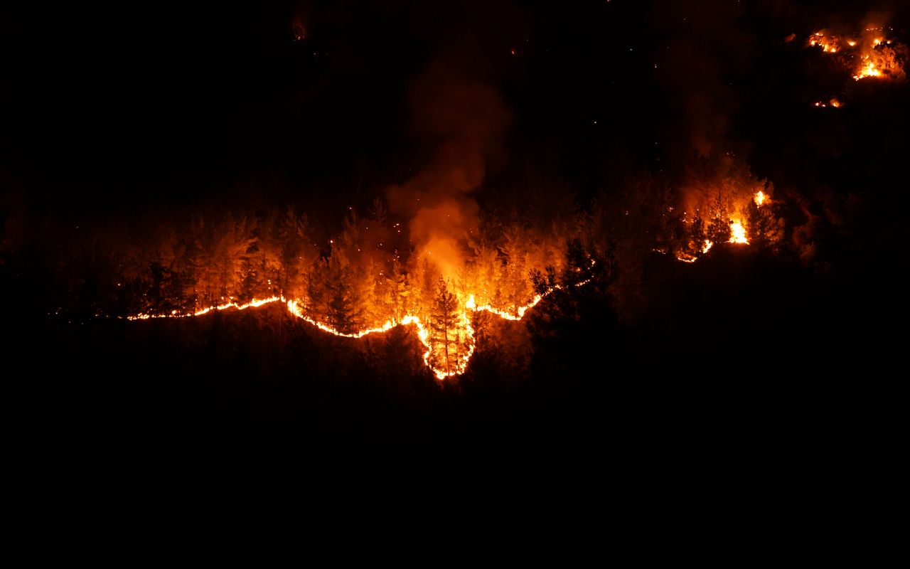
BC wildfires often force evacuees down service roads and backroads where conditions are unpredictable and drivers are unprepared. Kelowna-based IntelliMass built BackRoadIntel as a solution. The crowdsourced mapping platform combines kinetic sensors, dashcam data, and driver narration to catalogue back-road conditions that aren't captured on any other map service. The platform is currently used by emergency and local officials, and the company aims to launch a public-facing map feature later this year. It is piloting the approach with First Nations near Lytton, a village that faced a devastating wildfire in 2021, where a quarter of local Indigenous bands rely on a single road to get out during a wildfire.
Read more →